Scan to BIM Conversion
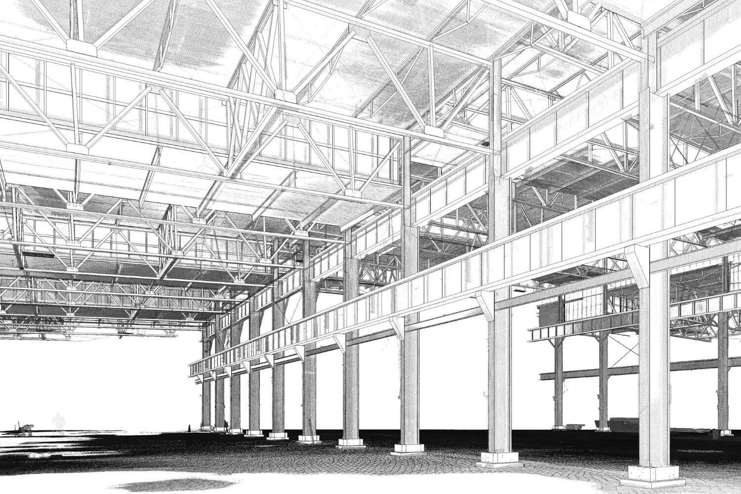
Transform laser scan point clouds into precise as-built BIM models for renovation, facility management, and retrofit projects.
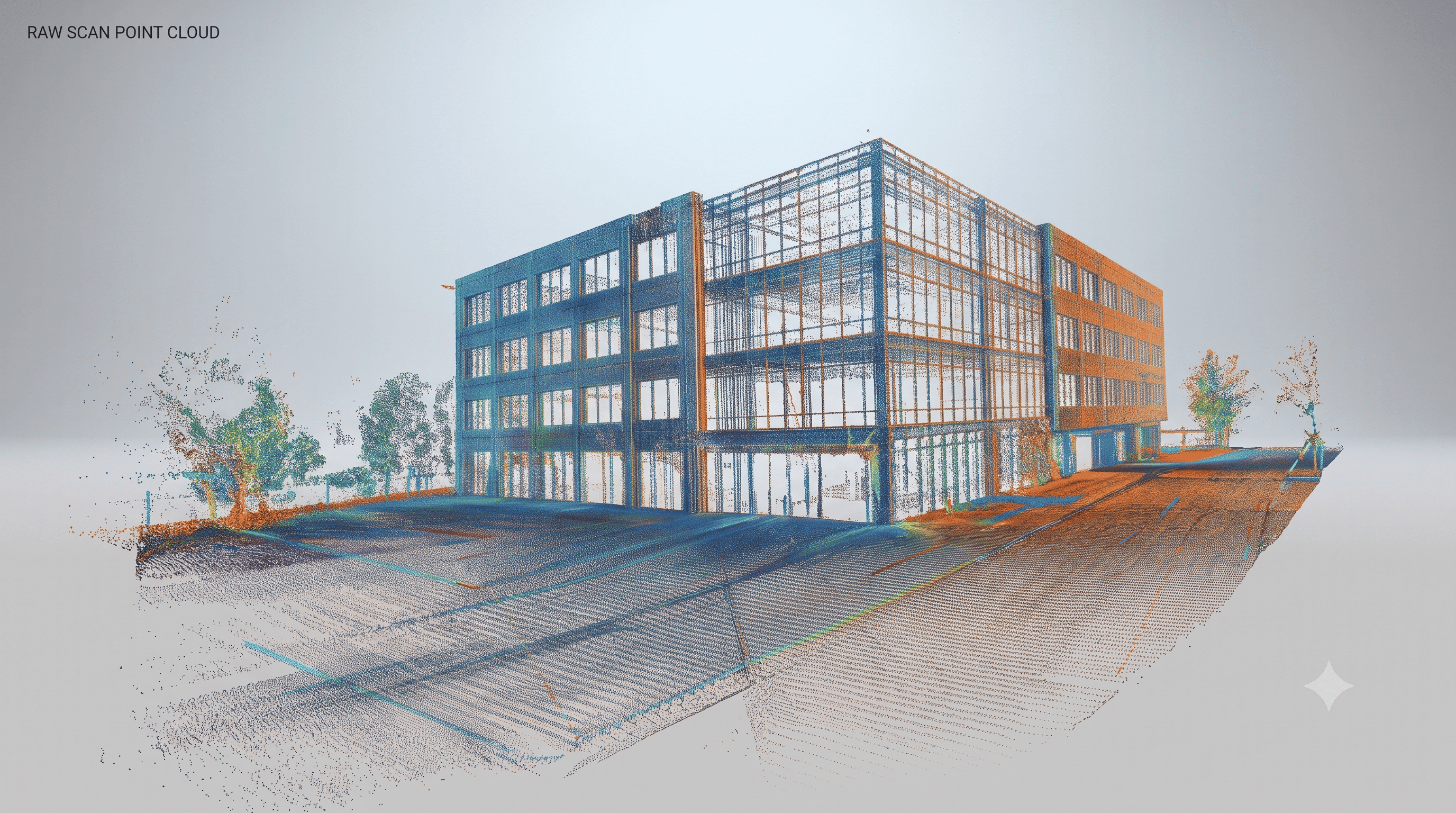
Transform laser scan point clouds into precise as-built BIM models for renovation, facility management, and retrofit projects.
Point cloud registration support, model extraction, and as-built documentation aligned to project LOD.
Importing, indexing, and validating raw scan data to establish an accurate, georeferenced coordinate base.
Converting validated point clouds into parametric Architectural, Structural, and MEP BIM elements at your target LOD.
Auditing geometry, tolerances, and SOW compliance against the point cloud to ensure millimeter accuracy.
Delivering handover-ready Revit & IFC files formatted for seamless project coordination.
Existing conditions captured with high geometric reliability.
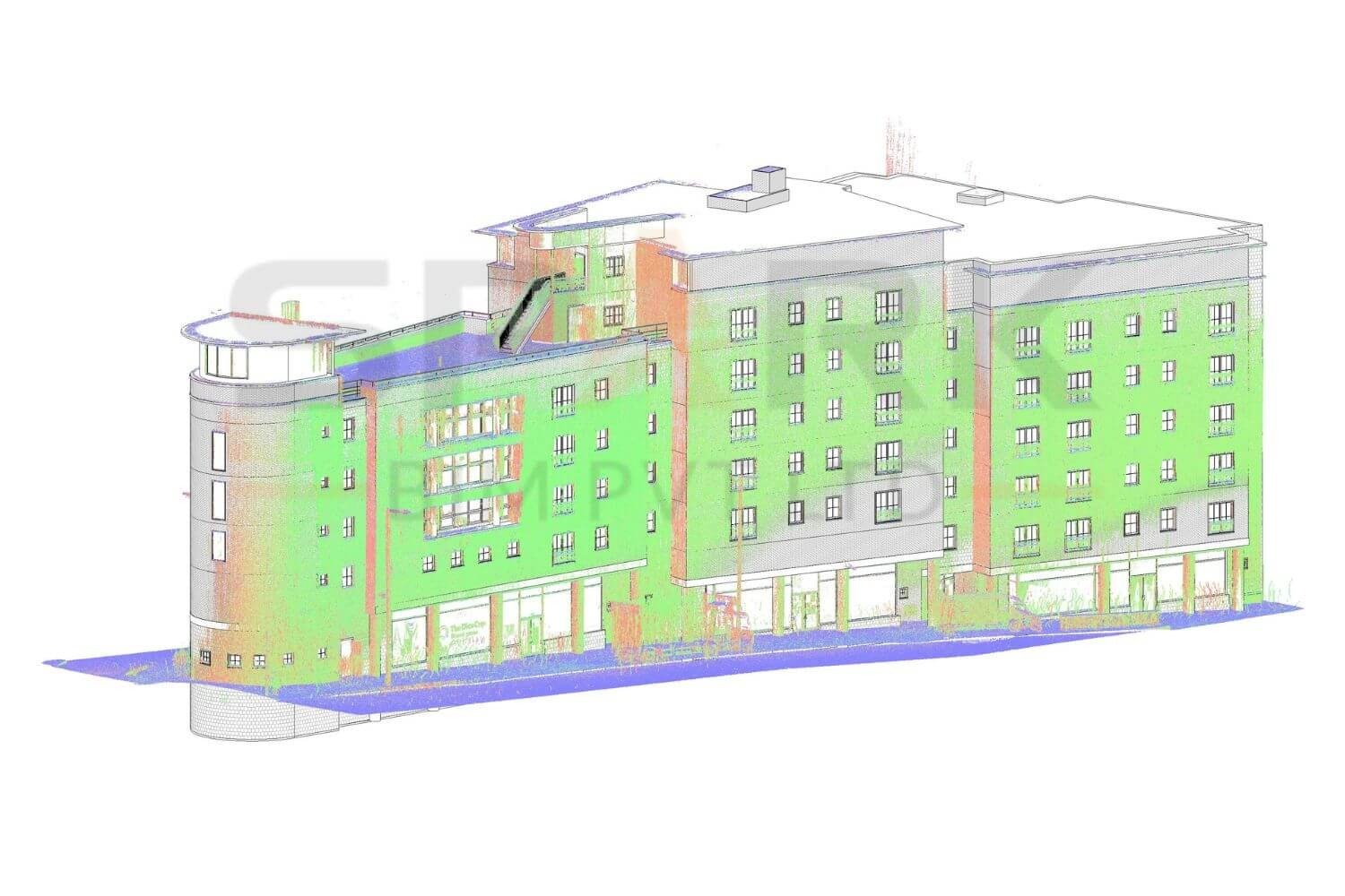
Models support retrofit, demolition planning, and design overlays.
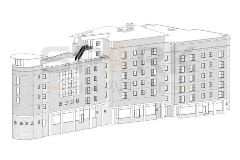
Scan data filtered and modeled for practical project use.
Don't let massive point clouds or backlogged legacy archives stall your design phases. Send us a sample dataset, and our engineering team will demonstrate our precision tolerances with a custom proof-of-concept.